- People
PARTNER POST: Putting the global mapping community behind the guardians of the world’s forests
Sep 02, 2016||4 minutes
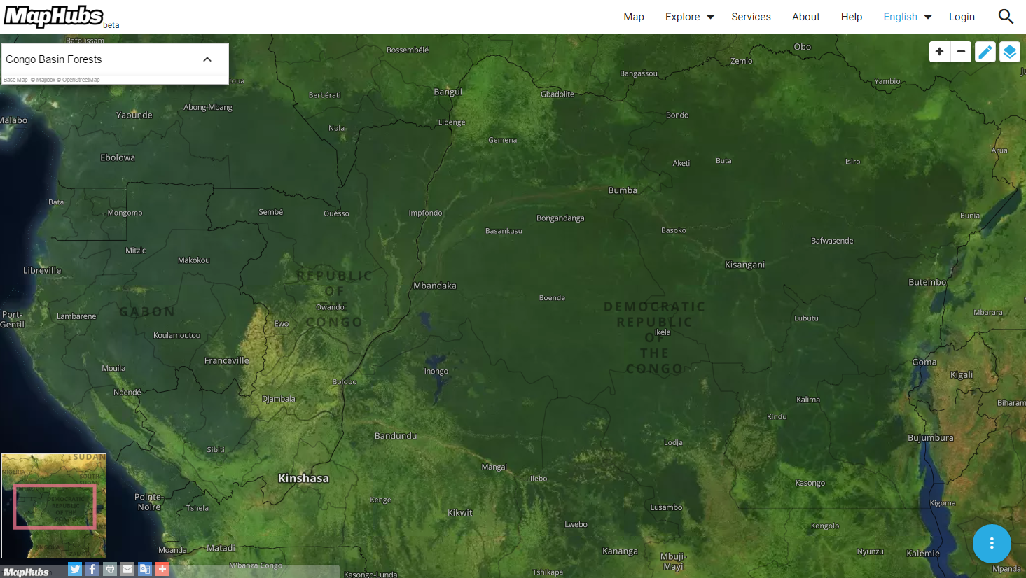
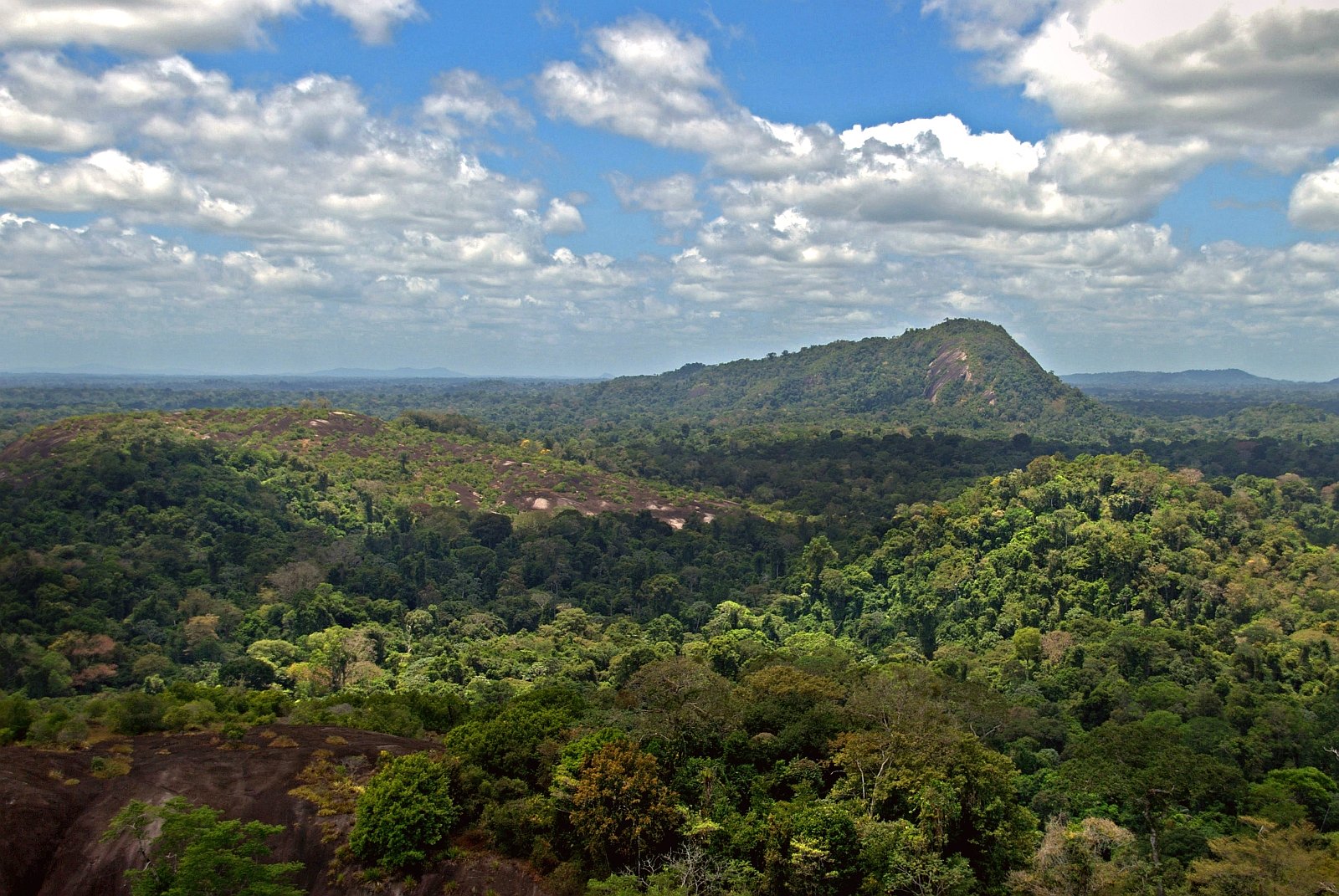
By Leo Bottrill At first glance from space, the earth’s great forests and rivers still seem intact and flowing. The Congo Basin rainforest blankets central Africa in rich greenery, regulating the regional climate, providing food and livelihoods to millions, and refuge to thousands of species, including forest elephants and chimpanzees.
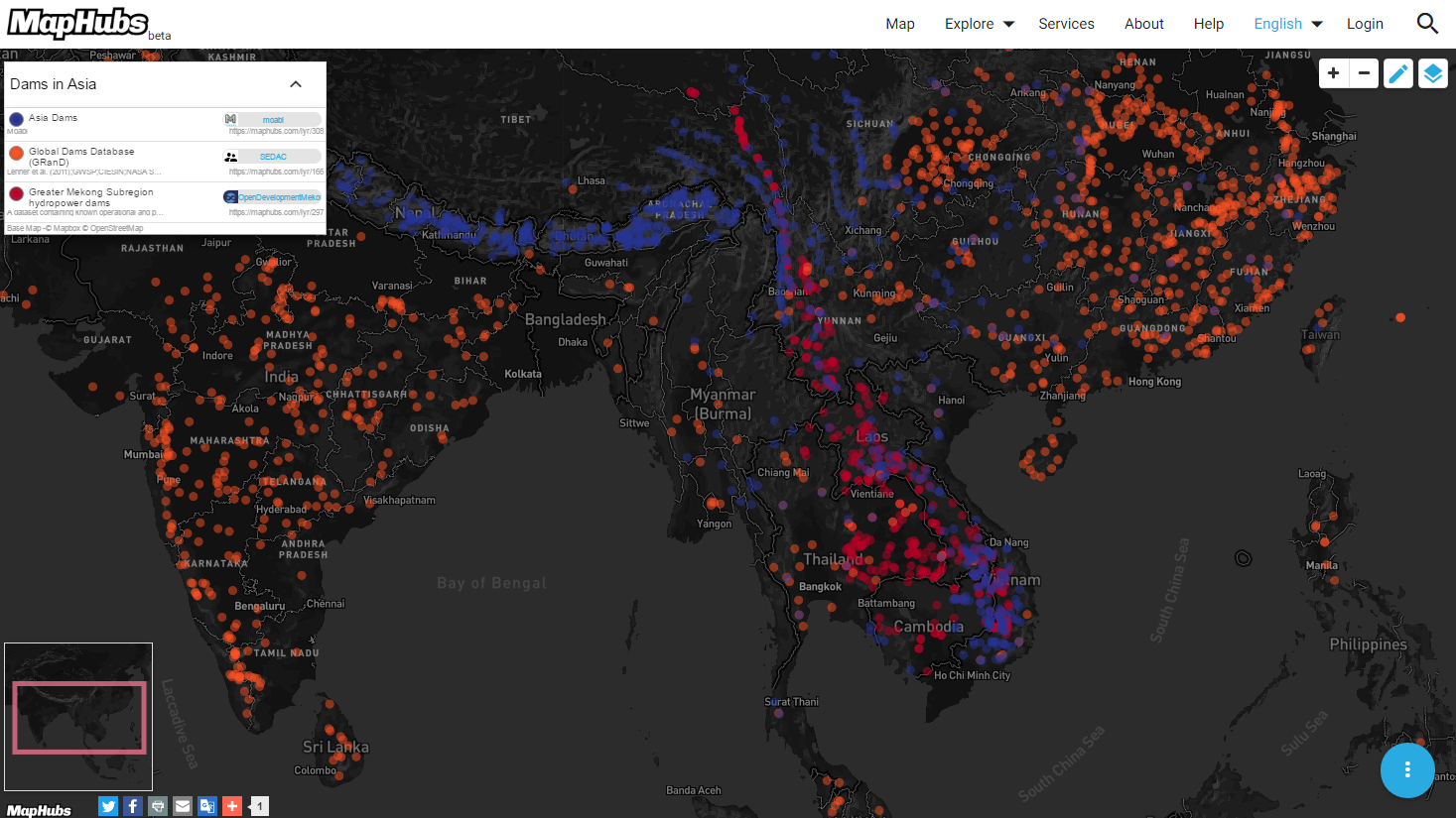
Asia’s great rivers—the Mekong, Brahmaputra, and the Yangtze—meander from the head waters of the Himalayas down to the mouths of the Vietnam and Ganges Deltas, providing water, food and hydropower to hundreds of millions of people. But zoom in closer and threats to these natural ecosystems come into focus. Forests are strafed by narrow logging roads, often hidden under dense tree canopies that open remote intact areas up for loggers to extract valuable timber and eventually lead to permanent conversion to industrial agriculture like oil palm, cacao, and eucalyptus plantations. Asia rivers are increasingly being dammed to provide energy for rapidly growing cities as well as diverting water to arid regions, but not without environmental consequences.
Many of these activities can be detected by satellites, but their scale and impacts are unmapped and undocumented. This lack of transparency creates a culture of impunity that allows bad actors to go unpunished and good actors to go marginalized.
Making the invisible visible
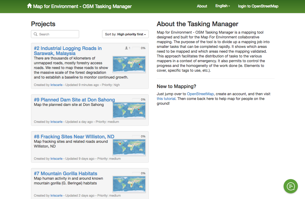
Moabi’s new Map for Environment platform aims to protect these critical natural resources by literally putting logging roads, industrial agriculture, dams, and fracking—the biggest threats to the world’s forests and rivers—on the map. Map for Environment combines OpenStreetMap—the crowdsourced map of the world—with satellite imagery and location data of known logging roads, industrial agriculture, dams and fracking sites to create detailed maps of these activities, as well as communities impacted. The Map for Environment team uses both open data and expert advice to create mapping tasks for activities in high risk areas. OpenStreetMap users then complete these tasks and the maps are shared on OpenStreetMap and MapHubs in addition to Map for Environment. This ensures that Map for Environment prioritizes making maps in high impact areas to directly support advocates and agencies holding operators accountable for illegal, unsustainable, and dangerous practices. Map for Environment is made possible thanks to OpenStreetMap’s global community of volunteers mapping the planet, the availability of high-resolution satellite information and open data portals such as Global Forest Watch and MapHubs, which have placed an unprecedented amount of environmental data in to public domain.
Join Us
There are lots of ways you can get involved with Map for Environment. Help map! Anyone can create an OpenStreetMap account, learn the basics, and take on mapping tasks like tracing an industrial logging road in Sarawak, Malaysia.
Host a mapping party! Do you have space and an internet connection to accommodate some eager mappers? Then you can host a mapping party! Mapping parties are a great way to accomplish a mapping task and meet fellow mappers. Providing some beers and pizza goes a long way too. Please contact us, if you are interested in hosting a party.
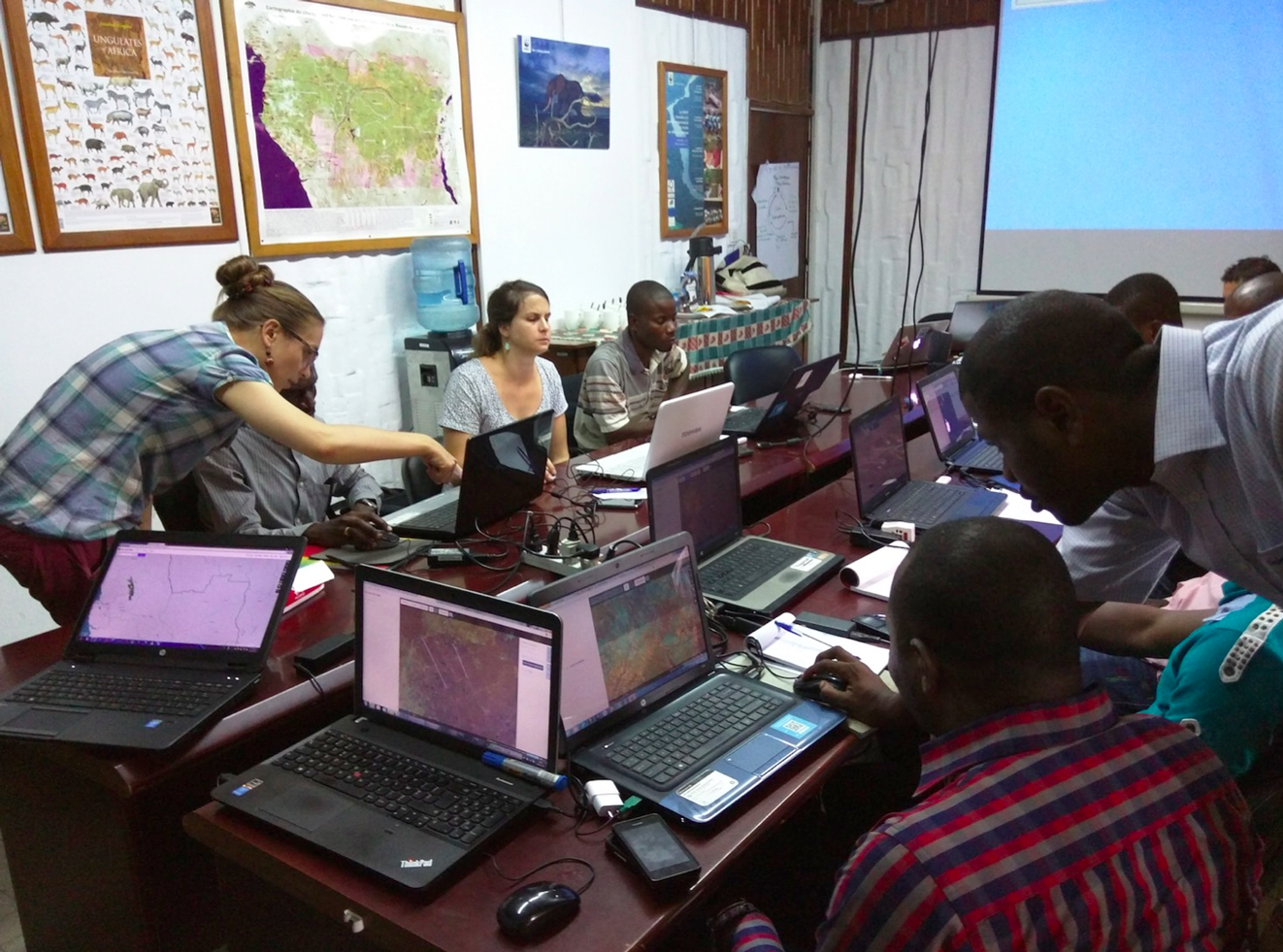 A Logging Roads mapping party in Kinshasa, DRC.
Become a partner! Map for Environment is completely run by volunteers. If you would like to provide financial or technical support to the project, please contact us here at info@moabi.org. Funding helps us improve the tools, sponsor mapping parties in places like DRC and Indonesia, which have the highest rates of forest loss, and helps us obtain proprietary high resolution imagery, which is critical to mapping small scale disturbances that lead to large scale forest loss and degradation. OpenStreetMap at the IUCN World Conservation Congress Together with WRI and the Jane Goodall Institute, we’ll be demonstrating OpenStreetMap tools at the upcoming IUCN World Conservation Congress on September 3. We’ll show off tools like Tasking Manager, iD Editor, and MapHubs, and we’ll be holding a mapping party to map logging roads in the Republic of Congo. With a bit of luck, we’ll be able to make a new map identifying threats to chimpanzee habitats. This is the area in the Republic of Congo that we’ll be mapping. And a special thank you to Mapbox that is sponsoring our participation at the World Conservation Congress. Thanks guys!
Leo Bottrill is director of Moabi, a Global Forest Watch partner.
Explore More Articles
Explore More Articles


