- Commodities
- Map of the Week
Map of the Week: Planned Natural Gas Pipeline Threatens Protected Areas in Virginia and W. Virginia

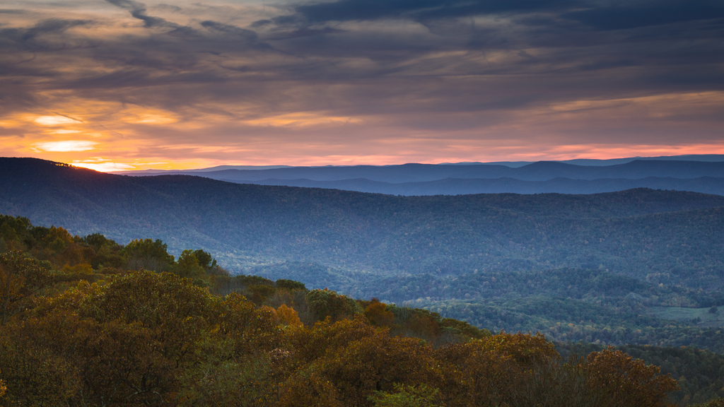
By Elizabeth Goldman The Atlantic Coast Pipeline, a 550-mile planned natural gas pipeline that would run from West Virginia to North Carolina, has been in the news recently over environmental impact concerns. According to the U.S. Forest Service, if the project moves forward, 30 miles of the pipeline would run through national forests in Virginia and West Virginia. We decided to compare the proposed path of the project with the World Database on Protected Areas (WDPA) maps available on Global Forest Watch (GFW) to see exactly what areas may be impacted. The WDPA is the most comprehensive global spatial data set on protected areas.
Using GFW’s Open Data Portal, we downloaded the WDPA data set and created a custom map to show where the path of the proposed Atlantic Coast Pipeline overlapped with which protected area.
The data shows that this proposed pipeline path would not only run through the Appalachian Trail, but also lands managed by the Fish and Wildlife Service, Forest Service, and Virginia Department of Game and Inland Fisheries, and be within half a mile of several Virginia Wildlife Management Areas. Among these areas are the Shenandoah National Park and the Great Dismal Swamp, both of which are important to U.S. wildlife conservation efforts. Shenandoah National Park is part of the U.S. National Wilderness Preservation System and the Mountain National Forest within its boundaries is designated as a special biological area. The Great Dismal Swamp is both historically and ecologically significant. It was once part of the underground railroad and is now an official site on the National Underground Railroad Network to Freedom. It is also one of the largest wetland forests in the U.S. and is an important habitat for more than 200 bird species. However, the area has already lost 6 percent of its tree cover since 2001, and that number could increase as a result of a major development like the pipeline, potentially disturbing the birds and other wildlife that call it home.
Alternate routes are currently being considered, which could potentially alleviate some of the environmental, as well as historical and cultural impacts, according to Dominion. To monitor for future developments, visit the Global Forest Watch interactive map.
Explore More Articles

Partnership Launches to Increase Transparency and Traceability Across Supply Chains and Meet Zero-Deforestation Commitments
Read the full concept note. On January 19 at the World Economic Forum in Davos, Switzerland, 20 of the world’s largest commodity producers, traders, manufacturers, consultants and retailers launched a new partnership with research institutions and banks to monitor deforestation and manage sustainability from farm to customer. The partnership, led by the GFW team (see the […]

Technical Blog: Soy Data for Brazil’s Cerrado
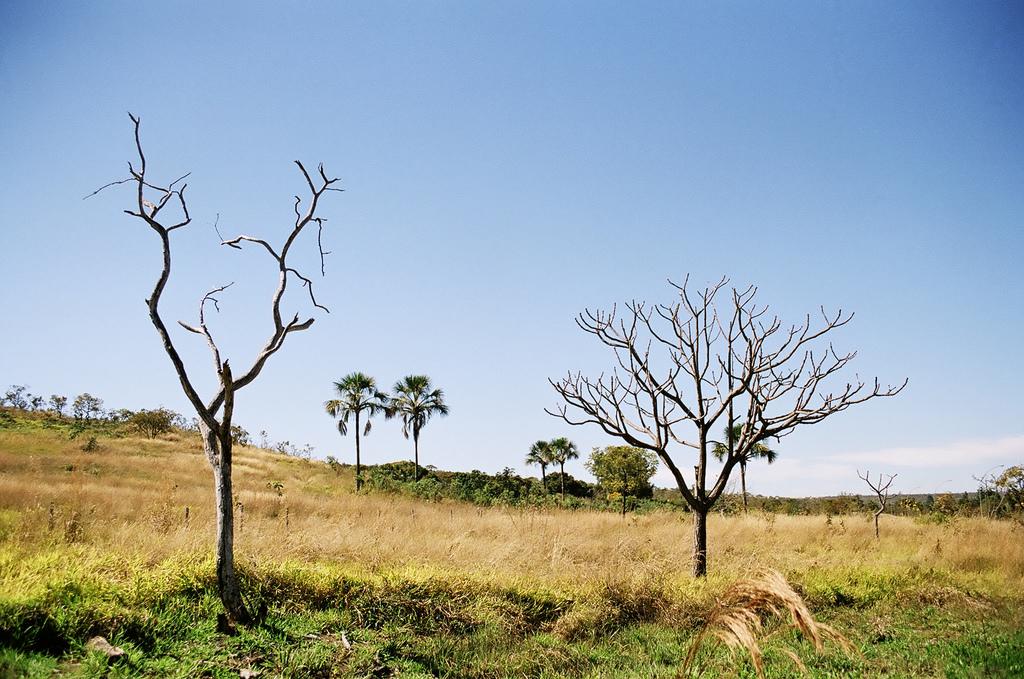
By Sarah Sargent and Ryan Sarsfield Taken by Paulo Q Maia (Flickr). License information here. Global Forest Watch (GFW) Commodities recently released new data and analysis for soybean production in Brazil’s Cerrado biome, a mix of forest and savannah rich with biodiversity and carbon. These data show users the spatial extent of soy production and how […]

Companies Can Find Deforestation-Free Soy in Brazil’s Cerrado, Thanks to New Data
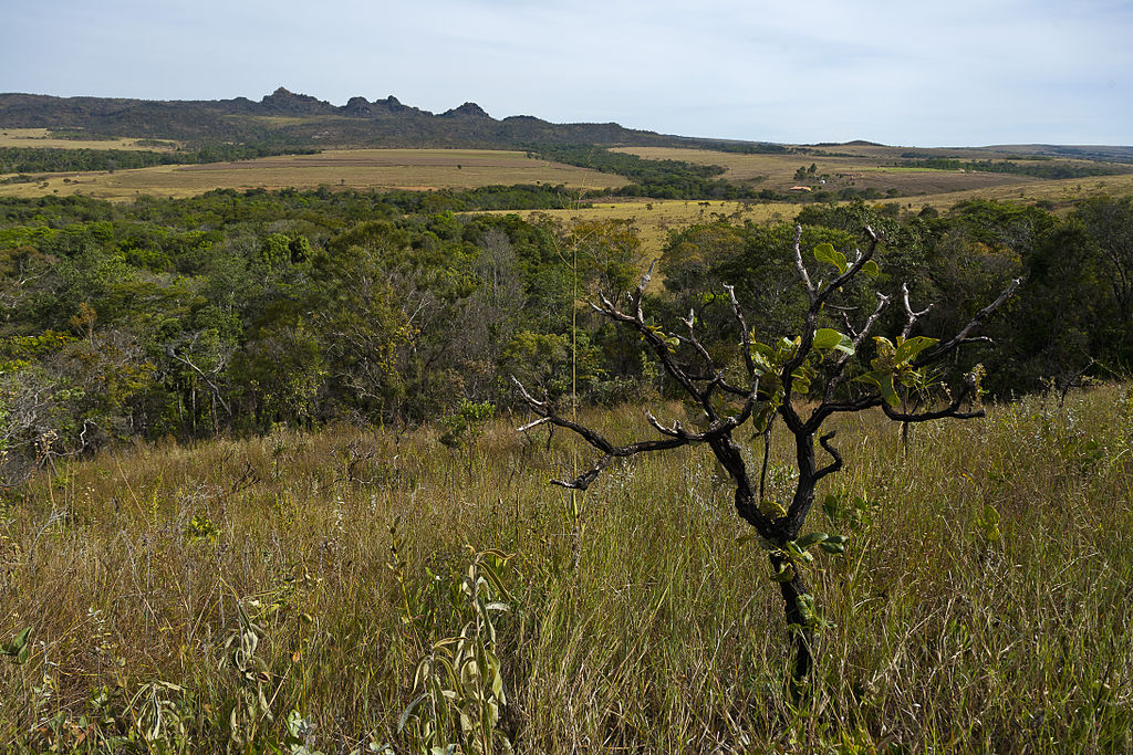
By Ryan Sarsfield Cerrado Parque Estadual dos Pirineus by Jonathan Wilkins via Wikimedia. The photo is licensed under the Creative Commons Attribution-Share Alike 3.0 Unported license. Just ten years ago, Brazilian soy’s reputation was at an all-time low for its links to deforestation in the Amazon. The industry, environmental NGOs and the Brazilian government reacted swiftly to establish […]