- Map of the Week
Map of the Day: Canada’s Plan Nord
Oct 07, 2014||
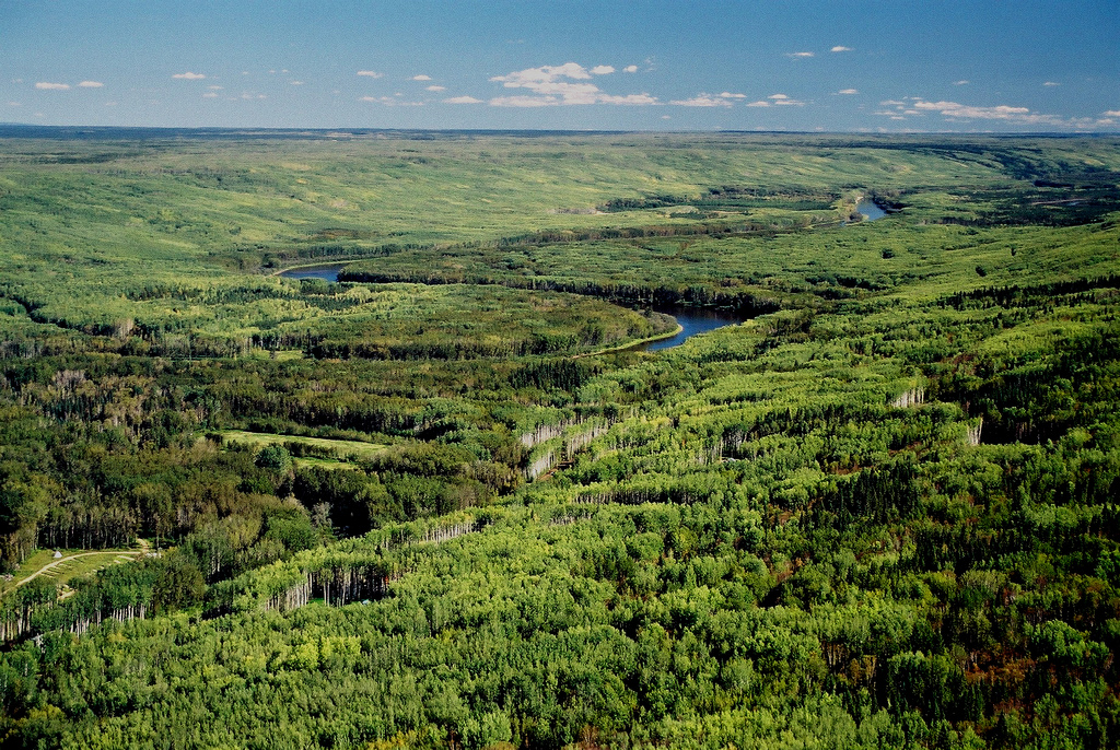
 500 scientists urged the government of Quebec to stick to its conservation commitments concerning the Plan Nord, which covers 75% of land above the 49th parallel in Quebec, 50% of which will be protected by industry, mining and energy development by new parks and wildlife preserves. That’s a lot of Intact Forest Landscape potentially protected from industry, mining, and energy development! Learn more about Canada’s Intact Forests. Read more about Plan Nord’s commitment to conservation.
Explore More Articles
Oct 11, 2016|Commodities|3 minutes
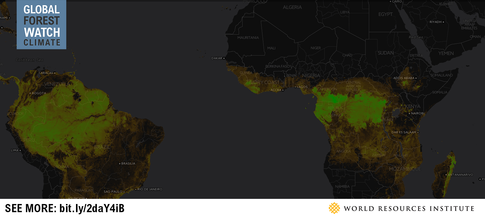
Map of the Week: Tracking Logging Roads in the Congo Basin
By Sofia Soto Reyes Western Lowland Gorilla (in captivity). Source: Heather Paul (Flickr). License available here. Located in western equatorial Africa is a vast expanse of green that blankets six Congo Basin countries: Cameroon, Central African Republic, Equatorial Guinea, Gabon, Democratic Republic of the Congo and Republic of the Congo. Second only to the Amazon rainforest […]

Aug 30, 2016|Map of the Week|2 minutes
Map of the Week: GLAD Alerts show recent loss in Brazil’s Jamanxim National Park
By Sofia Soto Reyes Parrot in the Amazon, Brazil. Source: Neil Palmer/CIAT for Center for International Forestry Research (CIFOR/Flickr). License available here. The Amazon Rainforest is home to one-tenth of all plant and animal species on the planet and produces one-fifth of all the oxygen we breathe. Monitoring and protecting such a rich natural resource […]
Aug 10, 2016|Map of the Week|2 minutes
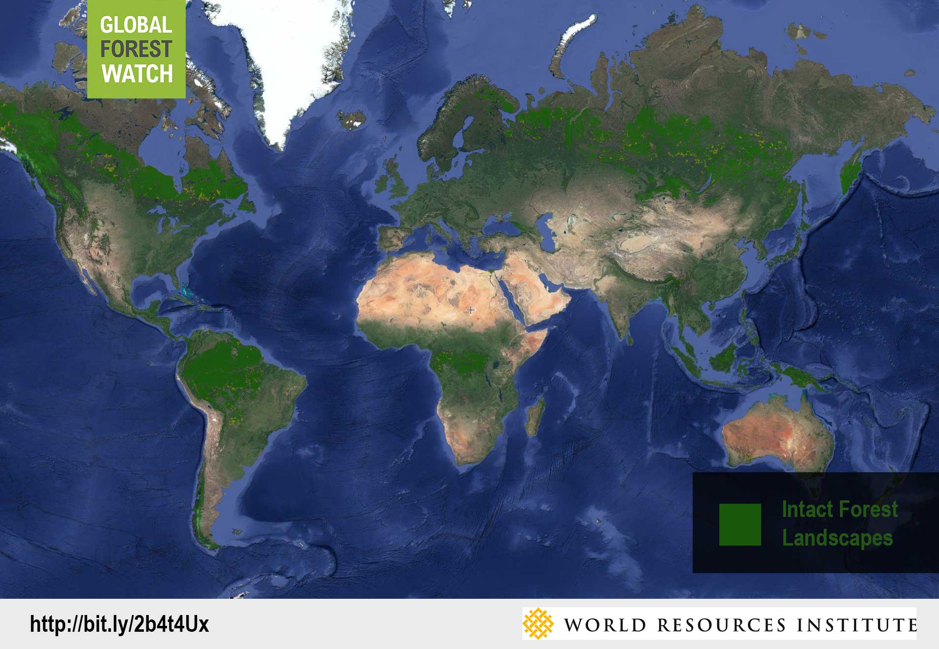
Map of the Week: Using GLAD Alerts to monitor Intact Forest Landscapes in Peru
By Sofia Soto Reyes Peru ranks as one of the ten most biodiverse countries on the planet, with more than half of its territory made up of the Amazon Rainforest. The Ucayali region, named for the Ucayali River, which serves as the main mode of transport for Peru’s timber trade, flows through a part of the Peruvian Amazon that is designated as an Intact Forest Landscape (IFL). Global Forest Watch’s Intact Forest Landscapes layer displays the extent of world’s last remaining undisturbed forests, […]
Explore More Articles


