- Commodities
- Map of the Week
Map of the Week: Oil Palm-Driven Forest Clearing in Leuser Ecosystem Detected by 2013 Data
Apr 08, 2015||1 minute
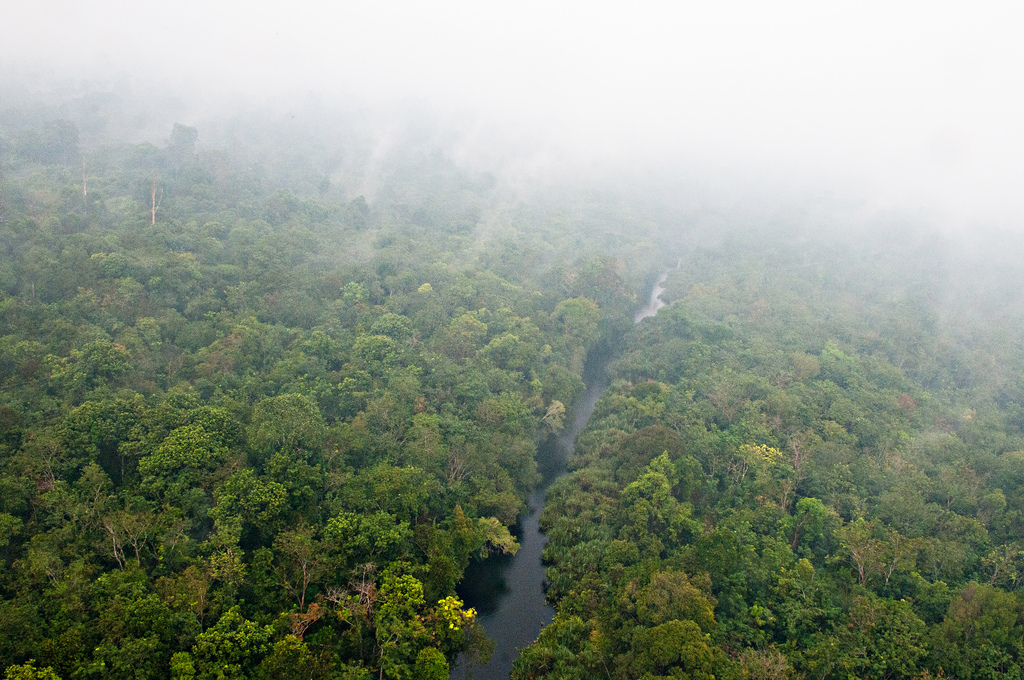
Photo via CIFOR

The Leuser Ecosystem on the Indonesian island of Sumatra is a hotspot for endangered biodiversity, described by Mongabay as “the only place on Earth where rhinos, orangutans, tigers and elephants live in the same habitat.” A broad area of the Leuser Ecosystem is designated a “National Strategic Area” for Indonesia, and is mapped as a “conservation area” by the World Database on Protected Areas. But the protection afforded to this area is ambiguous—in several areas the Indonesian government has granted licenses for oil palm, timber, and wood fiber development that overlap with the mapped protected area. The area highlighted in the map falls both within the Leuser Ecosystem and is designated as a palm oil concession for PT. Mestika Prima Lestari Indah according to Indonesian government data. This spot stands out when we look at the new 2013 tree cover loss data released last week. The GFW analysis tool indicates that 1,187 hectares of tree cover (an area the size of 1,600 soccer pitches) were cleared 2012 and 2013 alone, much in degraded primary forests. Zooming in on the satellite basemap shows the distinctive brown contours and green dots of an area cleared for oil palm planting. Explore the area on GFW here.
Explore More Articles
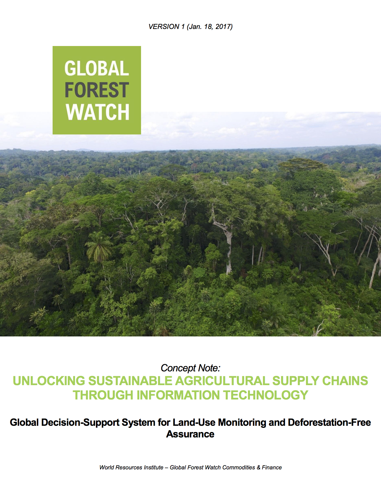
Jan 18, 2017|Commodities|2 minutes
Partnership Launches to Increase Transparency and Traceability Across Supply Chains and Meet Zero-Deforestation Commitments
Read the full concept note. On January 19 at the World Economic Forum in Davos, Switzerland, 20 of the world’s largest commodity producers, traders, manufacturers, consultants and retailers launched a new partnership with research institutions and banks to monitor deforestation and manage sustainability from farm to customer. The partnership, led by the GFW team (see the […]
Dec 20, 2016|Commodities|5 minutes
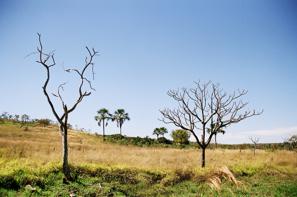
Technical Blog: Soy Data for Brazil’s Cerrado
By Sarah Sargent and Ryan Sarsfield Taken by Paulo Q Maia (Flickr). License information here. Global Forest Watch (GFW) Commodities recently released new data and analysis for soybean production in Brazil’s Cerrado biome, a mix of forest and savannah rich with biodiversity and carbon. These data show users the spatial extent of soy production and how […]
Dec 20, 2016|Commodities|4 minutes
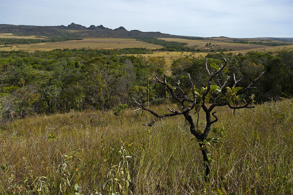
Companies Can Find Deforestation-Free Soy in Brazil’s Cerrado, Thanks to New Data
By Ryan Sarsfield Cerrado Parque Estadual dos Pirineus by Jonathan Wilkins via Wikimedia. The photo is licensed under the Creative Commons Attribution-Share Alike 3.0 Unported license. Just ten years ago, Brazilian soy’s reputation was at an all-time low for its links to deforestation in the Amazon. The industry, environmental NGOs and the Brazilian government reacted swiftly to establish […]
Explore More Articles


