- Uncategorized
UPDATE: High-resolution satellite imagery is back on GFW
Jun 05, 2017||1 minute
Since March, high resolution satellite imagery has been unavailable on Global Forest Watch while we switched service providers from UrtheCast to Sentinel Hub to ensure continued global coverage. We wanted to thank you for your patience during this process, and update you with the exciting news that you can now once again access high-resolution satellite imagery on GFW!
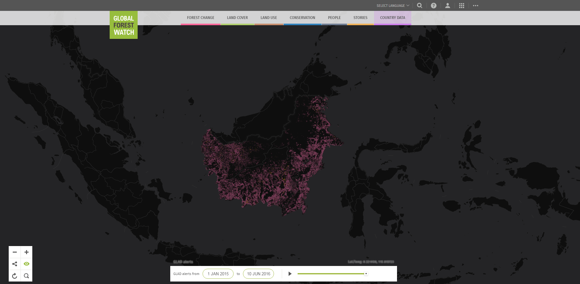
View this spot on the GFW interactive map.
Sentinel Hub provides the latest Landsat 8 and Sentinel 2 imagery. Just like before, you can filter imagery by date, sensor (Landsat 8 or Sentinel 2) and maximum cloud cover percentage. Over the coming months we will continue to make improvements, including:
- Improve the date selector so it’s easy to see which dates have imagery available
- Show the image outline for Landsat 8 imagery
- Make different renderers (e.g., RGB, NDVI, EVI, etc.) available
Learn more about the imagery shown through Sentinel Hub below:
| SENSOR | OWNER | RESOLUTION | REVISIT TIME | MINIMUM DATE | GEOGRAPHIC COVERAGE |
|---|---|---|---|---|---|
| LANDSAT 8 | USGS | 30m | 16 days | March 2013 | Global |
| SENTINEL-2A | ESA | 10m | 10 days | June 2015 | Global |
Let us know if you have any feedback or encounter any bugs with the new Sentinel Hub imagery using our feedback form.
Explore More Articles
Apr 26, 2017|Uncategorized|2 minutes
UPDATE: GLAD deforestation alerts temporarily on hold
As you may have noticed, the GLAD deforestation alerts have not updated for several weeks. We wanted to thank you for your patience and give you the latest on when the alerts are expected to be back online. When will GLAD alerts be back? The team at University of Maryland’s Global Land Analysis & Discovery […]
Sep 19, 2016|Uncategorized|4 minutes
Customizing GFW made easy with Map Builder
By Thomas Maschler and Asa Strong WATCH OUR WEBINAR to learn how to use GFW Map Builder Open data enables communities and decisions makers around the world to engage in important societal and environmental issues. It increases transparency and informs actions that often affect livelihoods. But simply making data ‘open’ doesn’t guarantee change. To drive […]
Jul 22, 2016|Uncategorized|1 minute
GLAD Alerts Under Construction
By Mikaela Weisse You may have noticed that there haven’t been any new visualizations or subscription emails for GFW’s GLAD tree cover loss alerts in the last few weeks – we’ve encountered a bug that’s preventing us from registering new alerts in our system. Basically, it’s a big data problem: the alerts are so numerous […]


