- Data and Research
Big data is all around. How do we harness it to drive the change we need?
Juan Carlos Valarezo Ortega
By Andrew Steer Today’s technological revolution is generating a wealth of social and environmental data. Every day, the world produces a staggering 2.5 quintillion bytes of new data. Our ability to collect and process complex information has the potential to transform how we manage our environmental footprint. But creating information and actually using it to drive change that benefits both people and the planet are two very different things. Solving enormous global challenges like reducing poverty and combating climate change requires transforming big data into readily accessible, easy-to-understand information that a wide range of stakeholders can use to take action. This means building free and intuitive open data platforms that anyone, anywhere in the world can leverage. By harnessing the power of open data with user-friendly platforms, we can empower:
- citizens, investigative journalists and civil society actors to hold powerful political and corporate actors accountable;
- governments to proactively use the data to improve decision-making processes, better protecting human rights and local environments; and
- companies around the world to meet sustainability commitments through spotting and stopping land use problems such as deforestation across their supply chains.
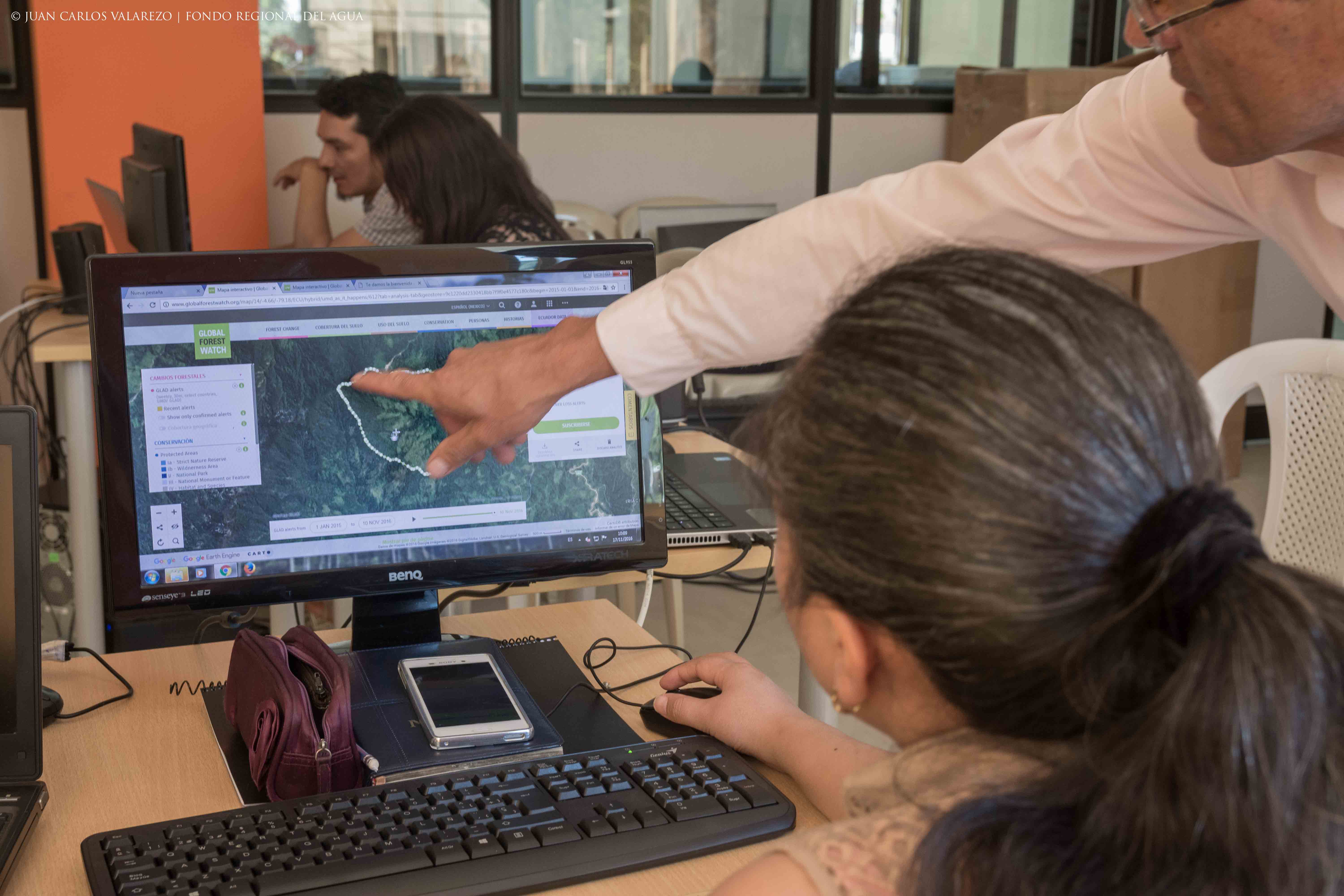
One such platform is already driving the kind of transformative change we need. Global Forest Watch (GFW), an online forest monitoring and alert system, uses satellite technology and cloud computing to track tree cover loss around the world in near-real time at as high as 30-meter resolutions—an area roughly the size of two basketball courts.
The ambitious partnership convened by World Resources Institute includes more than 40 entities—including technology firms like Google, businesses, civil society organizations and governments—that contribute cutting-edge technology, funding and expertise. Data can be downloaded at the local level or for the entire world, and users can subscribe to automatic alerts, create custom maps, and see small-scale forest loss on a weekly basis, such as newly emerging logging roads that would otherwise have gone undetected. It allows everyone from academics to journalists to firefighters and ordinary citizens to arm themselves with data that can improve land rights and prevent further environmental degradation. The crucial point being, data that previously took years to process can now be analyzed and used in a matter of seconds by anyone, anywhere. Here are a few examples of how the platform is already creating change:
Exposing wrongdoing and enhancing accountability
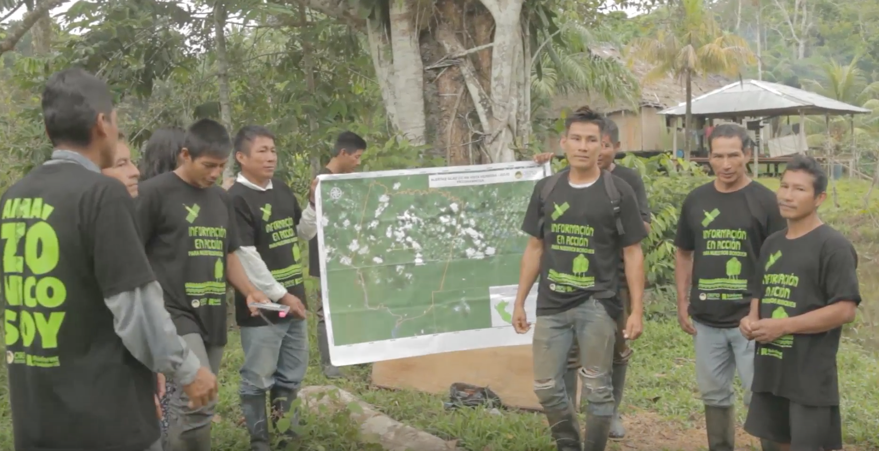
In Nigeria, palm oil, rubber and other commodities producers have converted more than 100,000 hectares (247,000 acres) of the country’s forests and community farmlands into large-scale plantations. As corporate investments in these projects increasingly influence concessions issued by national and state governments, people’s land rights, particularly the poor’s, are jeopardized. Friends of the Earth Nigeria, a national civil society organization, used GFW’s forest cover and land concession data to map, monitor and record incidences of corporate land grabs and deforestation. This evidence enabled citizens to lobby the Government of Nigeria to return nearly 14,000 hectares (35,000 acres) of land back to affected communities.
Improving government decision-making and enforcement
GFW recently partnered with the Jane Goodall Institute, Google and the Ugandan National Forest Authority to develop the Forest Watcher mobile app. Forest Watcher helps forest rangers access forest change data offline and in the field using smartphones and tablets in order to track deforestation in the Budongo and Bugoma Reserves. These areas, covering 4.9 million hectares (12.1 million acres) of protected forests, are home to an estimated 1,157 endangered chimpanzees. Within months of using the application, Ugandan authorities found, prosecuted and fined illegal loggers in the Kasyoha Kitomi Forest Reserve. Their small-scale logging camp isolated deep within the protected area was previously undetected.
Helping businesses meet their sustainability commitments
With the PALM Risk Tool, GFW works directly with companies to identify points in their palm oil supply chains that are most likely to be associated with deforestation. The tool, which includes an unprecedented global dataset of nearly 800 mills, analyzes satellite imagery and other spatial data to rank each mill as low, medium or high risk for deforestation. With this information, companies can reduce and eventually eliminate deforestation associated with their palm oil production. Unilever, for example, can now trace the origin of nearly 75 percent of its palm oil. If we want to reduce poverty, combat climate change and ensure a prosperous future for all, we must design more big data platforms for action. We must move beyond simply tracking big data. It’s time we start fully leveraging it. This means building partnerships with a range of stakeholders, from remote-sensing scientists to business leaders, to governments and NGOs; understanding users’ needs, resources and objectives so that we can build more accessible platforms; getting buy-in from communities around the world; and continuously improving our tools as data analysis and scientific methods evolve. This is how we transform the wealth of information we now have at our fingertips into action that benefits our world, from local to global.
This article originally appeared on The World Bank Blog. BANNER PHOTO: FORAGUA
Explore More Articles
Oct 16, 2019|Data and Research|5 minutes
Triumphs and Challenges of Using Deforestation Alerts in Peru
In 2016, Global Forest Watch (GFW) and the University of Maryland released the world’s most detailed satellite-based deforestation alerts. Since the launch, the GLAD alert system has expanded from just three countries to the entire tropical region and is accessed by hundreds of thousands of users through GFW. Peru’s Early Warning Alerts After using the GLAD deforestation alerts, […]
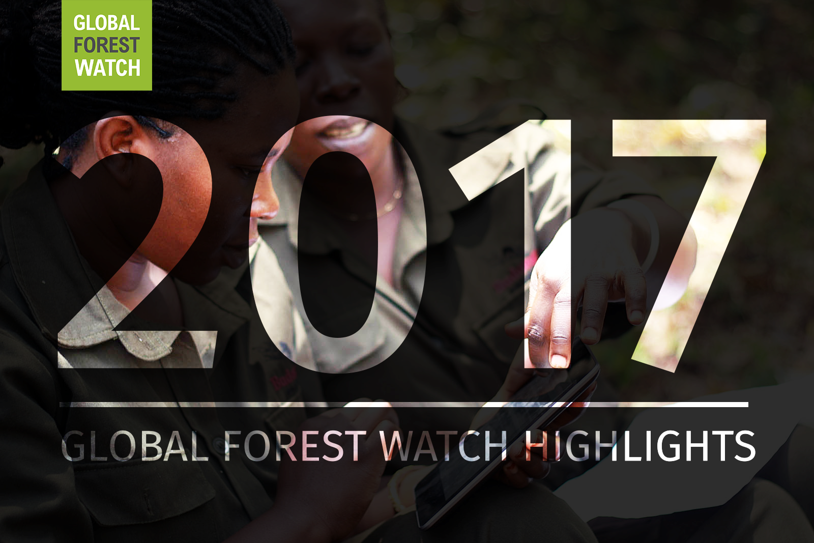
Dec 27, 2017|Data and Research|6 minutes
A Year in Review: Global Forest Watch Highlights from 2017
It’s been another busy year for Global Forest Watch! This year we focused on putting the right data into the hands of our users to support action on the ground. We added more local data and made it easier than ever for decision-makers and on-the-ground forest monitors to access the information they need through national […]
Explore More Articles


