- Fires
- Map of the Week
Map of the Week: Forest and Land Fires Spike in Alaska
Jun 26, 2015||1 minute
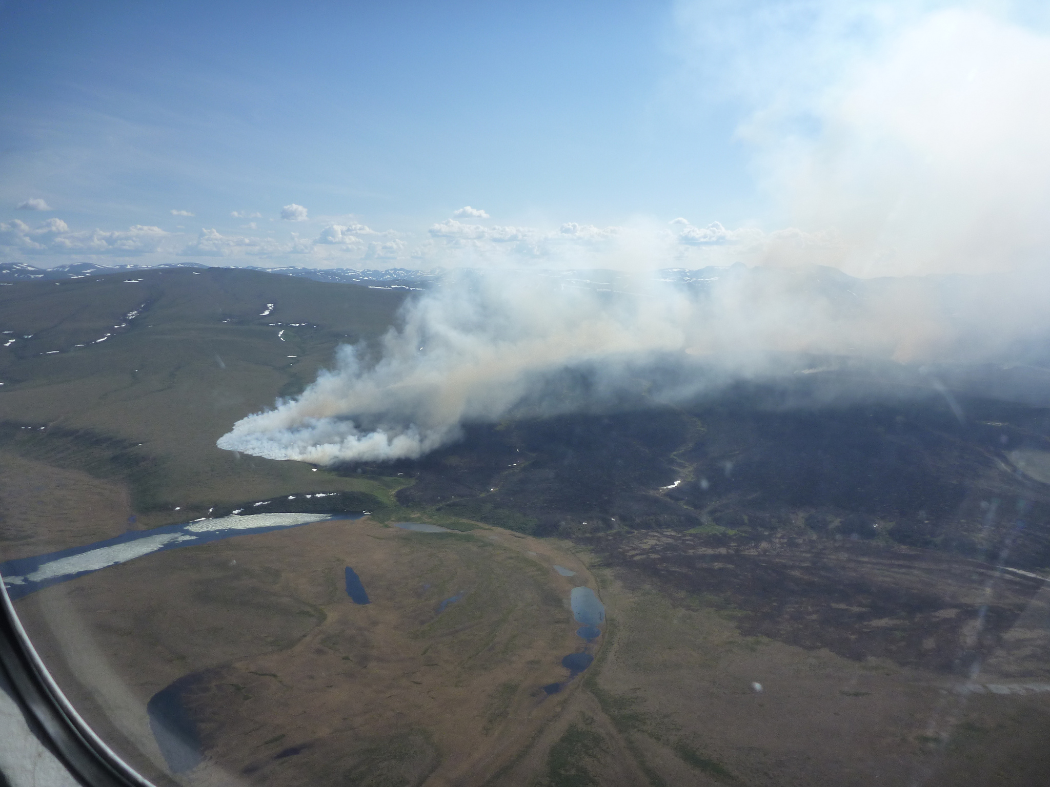
By James Anderson Hundreds of fires have sprung to life in Alaska’s forests and grasslands this week, according to Alaskan authorities and confirmed by satellite-based data on Global Forest Watch. Stories in the Washington Post, Mashable, and elsewhere have reported on the blazes, which have followed a record month of hot temperatures and low snowpack in the northern state. Analysis on the GFW platform counts a full 11,211 NASA active fire alerts (generated by the MODIS satellite platform) across the state from June 19-26. Visualizations follow below.
In April, analysis from the University of Maryland and Google found that tree cover loss spiked in the boreal forests of Russia, Canada, and Alaska in 2011-2013, mostly due to forest fires. Although fire is a natural part of the cycles of loss and regrowth in boreal forests, researchers have predicted that climate change will (and may already be) increasing the frequency and intensity of boreal wildfires, perhaps upsetting historical ecosystem and climate patterns. A report by Climate Central found a large increase in Alaskan fires over the last 65 years. A separate report in PNAS found that fires in Alaska’s Yukon Flats are more frequent now than they have been in the past 10,000 years.
BANNER PHOTO: 2012 Noatak Grand Canyon Fire by the National Park Service
Explore More Articles
Oct 11, 2016|Commodities|3 minutes
Map of the Week: Tracking Logging Roads in the Congo Basin
By Sofia Soto Reyes Western Lowland Gorilla (in captivity). Source: Heather Paul (Flickr). License available here. Located in western equatorial Africa is a vast expanse of green that blankets six Congo Basin countries: Cameroon, Central African Republic, Equatorial Guinea, Gabon, Democratic Republic of the Congo and Republic of the Congo. Second only to the Amazon rainforest […]
Aug 30, 2016|Map of the Week|2 minutes
Map of the Week: GLAD Alerts show recent loss in Brazil’s Jamanxim National Park
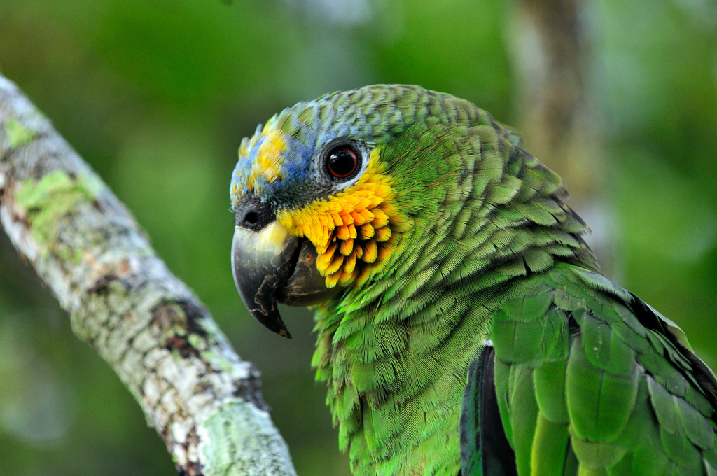
By Sofia Soto Reyes Parrot in the Amazon, Brazil. Source: Neil Palmer/CIAT for Center for International Forestry Research (CIFOR/Flickr). License available here. The Amazon Rainforest is home to one-tenth of all plant and animal species on the planet and produces one-fifth of all the oxygen we breathe. Monitoring and protecting such a rich natural resource […]
Aug 10, 2016|Map of the Week|2 minutes
Map of the Week: Using GLAD Alerts to monitor Intact Forest Landscapes in Peru
By Sofia Soto Reyes Peru ranks as one of the ten most biodiverse countries on the planet, with more than half of its territory made up of the Amazon Rainforest. The Ucayali region, named for the Ucayali River, which serves as the main mode of transport for Peru’s timber trade, flows through a part of the Peruvian Amazon that is designated as an Intact Forest Landscape (IFL). Global Forest Watch’s Intact Forest Landscapes layer displays the extent of world’s last remaining undisturbed forests, […]
Explore More Articles


